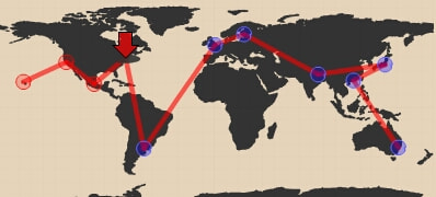
 In Joi's blog, there is an interesting "flash" software named Indy Junior. It draws a map like you travelling on the world map when you input your itineraries using XML format.
For example, here is the whole journey I have made (I decided to use this tool when I write a travel log).
Oh oh, it is obvious that I have never been to some particular continents...